Advanced GIS, Surveys & Field Intelligence
Integrating Field Intelligence, Geospatial Analytics & Environmental Expertise

Turning Field Data into Approval-Ready Solutions
Accurate decision-making depends on field-verified data and spatial intelligence. Reliance on outdated maps or secondary datasets often leads to delays, compliance risks, and costly revisions.
At PTS, we provide:
- Field-validated GIS datasets
- Scientifically backed spatial analysis
- Regulatory-compliant mapping outputs
Why Field-Verified GIS is Critical for Regulatory Approvals
Regulatory authorities increasingly demand evidence-based and field-validated data for approvals.
Key Requirements for Compliance:
- Primary field surveys and baseline data
- GIS mapping aligned with statutory formats
- Environmental and social impact integration
- Scientifically validated spatial analysis
- Traceable
- Compliant
- Approval-ready

Our GIS, Surveys & Field Study Services
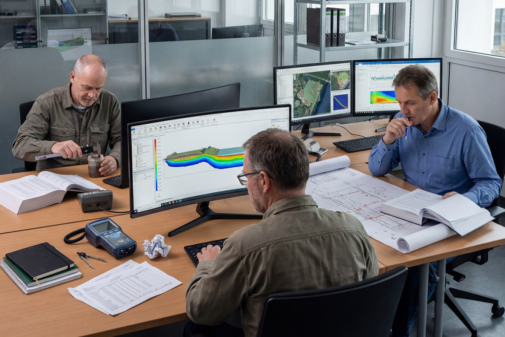
Geospatial Mapping & Spatial Intelligence
We deliver advanced GIS mapping and spatial analysis services to support environmental
studies, infrastructure planning, and regulatory submissions.
Services:
- Base maps and thematic mapping
- Land Use / Land Cover (LULC) mapping
- Buffer, overlay, and proximity analysis
- Environmental sensitivity & constraint mapping
- Satellite image interpretation
- Hazard mapping (flood, landslide, etc.)
- GIS support for EIA studies
Utility Network Mapping & Infrastructure Intelligence
PTS provides specialized utility GIS mapping and network analysis to support smart
infrastructure and efficient service delivery.
Services:
- Mapping of water supply, sewerage, stormwater, gas & electrical networks
- Asset inventory (pipes, valves, transformers, manholes)
- Network topology development (connectivity & flow modelling)
- Leak detection & fault identification support
- Service coverage & gap analysis
- Integration with SCADA and smart monitoring systems
- Utility corridor and pipeline mapping
- Route optimization and network efficiency analysis
Applications:
- Smart Cities & Urban Local Bodies
- Industrial Infrastructure Planning
- Water Supply & Sewerage Systems
- Pipeline & Transmission Projects
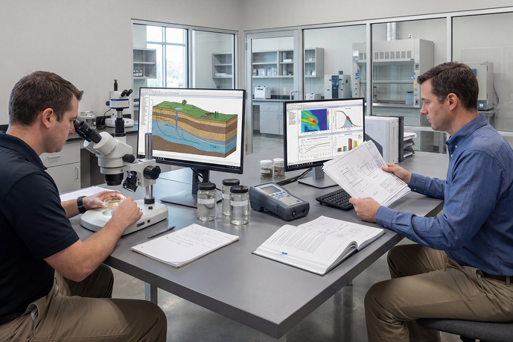
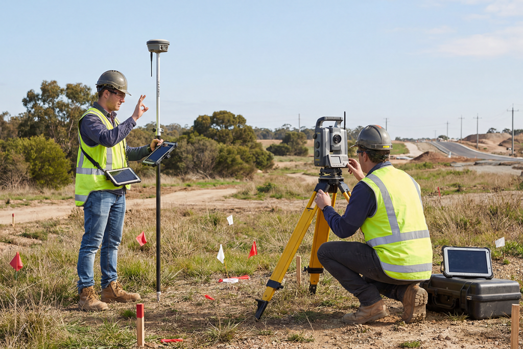
Topographical & Geotechnical Surveys
We provide high-precision terrain and subsurface analysis for engineering and infrastructure projects.
Services:
- Contour mapping & Digital Elevation Models (DEM)
- Drainage and watershed analysis
- Soil and subsurface investigations
- Slope analysis and terrain modelling
- Cut & fill analysis
- DGPS and Total Station and Drone based surveys
Socio-Economic & Community Studies
We conduct detailed social and economic assessments to support project planning and regulatory approvals.
Services:
- Household and stakeholder surveys
- Demographic and livelihood analysis
- Social Impact Assessment (SIA) inputs
- Public consultation documentation
Environmental Monitoring (Noise, Air & Light)
PTS conducts baseline environmental monitoring aligned with regulatory standards.
Services:
- Ambient noise monitoring
- Air quality assessment
- Light intensity and glare studies
- Vibration monitoring
- Workplace environmental monitoring
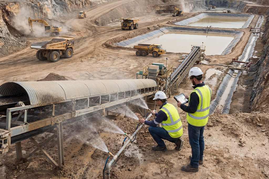
Mining Surveys & DGMS Compliance
Specialized GIS and field services for mining safety, planning, and compliance.
Services:
- DGMS-compliant surveys
- Mine mapping and spatial analysis
- Pit and quarry mapping
- Slope stability monitoring
- Mine planning and layout support
Geospatial Data Processing & Management
We convert and manage spatial data into analysis-ready GIS datasets.
Services:
- Data conversion (CAD, satellite, maps → GIS)
- Georeferencing & coordinate correction
- Feature extraction & attribute creation
- Database development
- Data validation and quality control
GIS Training, Internship & Capacity Building
PTS offers industry-oriented GIS training programs designed to build practical skills aligned with real-world consultancy projects.
Key Features:
- Hands-on training (ArcGIS, QGIS, Remote Sensing)
- Real-time project exposure (EIA, mapping, surveys)
- Internship opportunities
- Data analysis & report preparation
- Industry expert mentorship
Bridging the gap between academic learning and industry requirements
Why Choose Prime Technology Services (PTS)?
- Strong integration of GIS with Environmental Clearance & EIA
- Expertise in MoEFCC, CRZ, SEIAA, DGMS compliance
- Combination of field surveys + GIS analytics
- Proven experience in infrastructure, mining, and industrial sectors
- Delivery of approval-ready, audit-compliant outputs